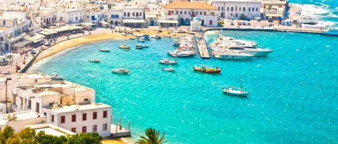
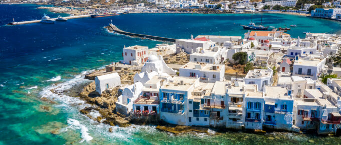
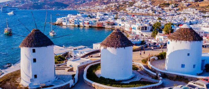
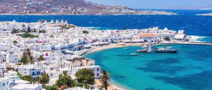
Kalo Livadi Mykonos

holiday report and map

You are here: Home » Mykonos » Kalo Livadi » Map

Kalo Livadi Mykonos

KALO LIVADI is one of the biggest beaches on Mykonos at nearly 500m wide and lies on the southeast coast about 2km from the inland village of Ano Mera and abut 10km from Mykonos Town at the end of a long and pretty valley.
Mykonos holiday brochures used to describe Kalo Livadi beach as uncrowded, but it can't really be called that any longer.
There is a regular bus service to the road intersection at the top of the hill and it's about a 10 minute walk to Kalo Livadi beach, although most arrive by car.
There are also boats from Platis Yialos and Paradise Beach and Kalo Livadi is usually the last port of call for caiques that travel between the south coast beaches.
The approach road to Kalo Livadi is from Ano Mera and there is car parking right along the back of the beach. It's not a party beach so you won't hear the dull thump of disco all say long and it's popular with families, particularly the Greeks themselves.
Kalo Livadi has sunbeds and umbrellas and low key water sports. The hills surrounding the beach are dotted with apartments and small hotels.
Even though Kalo Livadi beach is south facing it is quite exposed to the northerly meltemi wind and a bamboo fence has been erected to provide some protection.
There are beach bars and a taverna and some natural shade at the back of Kalo Livadi beach. You can also find shops and a mini market.
Kalo Livadi is probably worth searching out if you are looking for a quieter beach on Mykonos and want to avoid the music and the cruising.

Zoom in/out with + and - keys. Arrow keys pan left/right up/down.
Drag the mouse to move the Kalo Livadi Mykonos map around.

Kalo Livadi holidays
Kalo Livadi beach Mykonos
Copyright © Greek Island Postcards   Greek island holidays   www.greekisland.co.uk - All rights reserved.
Home | Mykonos | Kalo Livadi | Reviews | Contact